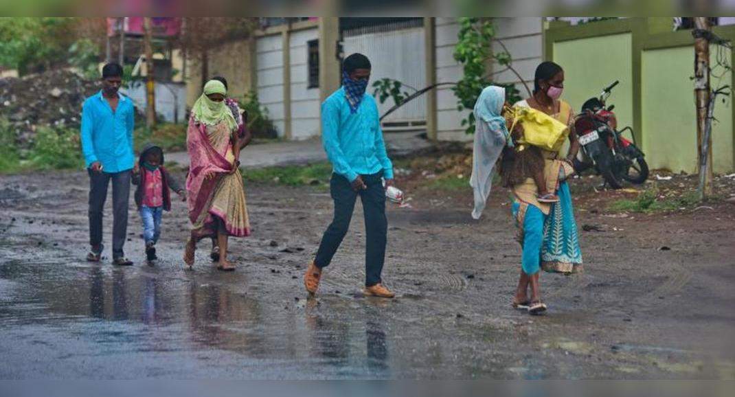
PUNE: Overcast skies brought the difference between the city’s day and night temperature down to 2.6°C on Wednesday.
The maximum temperature in Shivajinagar on Wednesday dropped to 25.8°C, exactly 8.5 degrees below normal, and the minimum temperature was a close 23.2°C.
Lohegaon recorded a day temperature of 25.3°C (7.7 degrees below normal) and a minimum of 23.2°C (2.2 degrees above normal).
The city’s overcast skies had 8 okta clouds throughout Wednesday, in the run-up to the wet spell.
India Meteorological Department has forecast moderate to heavy rain in isolated places in Pune city on June 13, 14 and 15.
The city’s temperature dipped significantly with rain and monsoon onset over the past few days.
The maximum temperature has been pleasant, around 30°C, on most days since the monsoon onset.
It dropped below 30°C on Wednesday.
The maximum temperature at all the three locations — Shivajinagar, Lohegaon and Pashan — has been below normal in the last few days, with a significant negative departure of 3-4°C before Wednesday, when the departures increased further.
Anupam Kashyapi, head of weather forecasting division, IMD, Pune, told TOI, “Shivajinagar, Pashan and Lohegaon had near-overcast skies all of Wednesday, with 7-8 okta clouds.
There could be slight/marginal increase in the day temperature on Thursday, but the trend will remain more or less the same next few days because of the upcoming wet spell, with maximum temperature around 25-26°C and minimum around 22-23°C.” Kashyapi said Pune city had a light rain forecast for Thursday, but from June 11, rain here could increase to light to moderate.
“On June 12, the city has a moderate rain forecast, which could be heavy at isolated places in Pune’s ghat areas.
Moderate to heavy rain is expected at isolated places in the city from June 13 to 15.
Ghats may witness isolated heavy to very heavy rain on June 13, scattered heavy rain on June 14 and isolated very heavy rain on June 15,” he said.
He said an upper air cyclonic circulation over east-central and adjoining northeast Bay of Bengal might become a low-pressure area by around June 11.
“The offshore trough over north Maharashtra to north Kerala is redeveloping, while another upper air cyclonic circulation exists over east-central to north Arabian Sea.
There is another trough from south Gujarat to Odisha.
All these systems are like to make monsoon vigorous over Konkan-Goa, ghats of Madhya Maharashtra (including Pune district) and adjoining Vidarbha soon,” said Kashyapi.
Strong westerlies and packed isobars over the Arabian Sea would aid in this process, he said.
Cloudy skies bring day & night temp difference down to 2.6°C