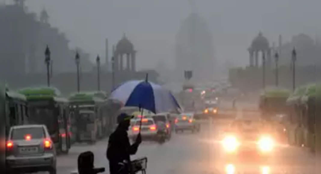
NEW DELHI: After hitting Kerala on June 3, the southwest monsoon is advancing sooner than expected, and can hit Delhi before the normal onset date of June 27, India Meteorological Department (IMD) said.
It added that, at this rate, the monsoon was expected to touch parts of Odisha, West Bengal and Jharkhand in the next two days, with a possibility of reaching parts of western Uttar Pradesh by June 13-14.
Kuldeep Srivastava, scientist, IMD, and head, Regional Weather Forecasting Centre, Delhi, said the monsoon trough was currently moving in advance, having covered the northeast, parts of Maharashtra, Telangana, Andhra Pradesh, Karnataka and sub-Himalayan West Bengal already.
“Parts of eastern and western Uttar Pradesh may see some rain by June 13-14, meaning it could reach Delhi several days in advance.
We will have to monitor its progress this week, but the current forecast for Delhi is an advanced onset of monsoon,” said Srivastava.
While the normal date for onset of monsoon in Delhi earlier was June 29, it was revised to June 27 last year.
Though, last year, the monsoon was declared on June 25.
“A low-pressure area is likely to form over north Bay of Bengal and neighbourhood around June 11.
Under its influence, the southwest monsoon is likely to advance into most parts of Odisha, West Bengal, Jharkhand and some parts of Bihar in the next two days,” said IMD on Monday.
TOI had earlier reported how Delhi had largely seen “below normal” monsoon over the last decade.
Between 2010 and 2020, Delhi only received “above normal” monsoon thrice.
While the normal mark for the capital between June and September is 648.9mm, it received 576.6mm rainfall last year and only 404.3mm in 2019.
Between 2010 and 2020, the highest rainfall, at 1,031.5mm, was received in 2010, while the lowest in this period was 370.8mm in 2014.
On average, Delhi receives 65.5mm rainfall in June, which are largely pre-monsoon shower.
In July, the normal mark is 210.6mm, while it is 247.7mm in August.

