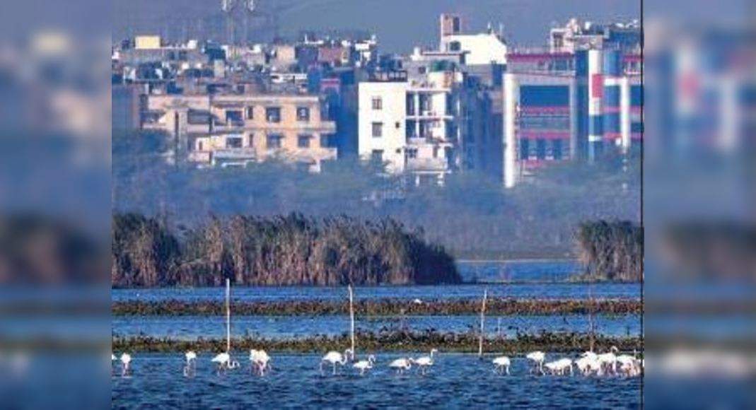
NEW DELHI: In a move that may give ownership rights to the residents of at least 71 unauthorised colonies located along the Yamuna, Delhi Development Authority (DDA) has proposed to delineate Zone O, which encompasses the floodplain, into two zones.As per Master Plan for Delhi 2021, Zone O comprises the entire floodplain along the 22km stretch of the Yamuna that falls in Delhi, from Wazirabad to Palla.
As no construction is allowed in this zone, residents of these 71 colonies are unable to get ownership rights for their properties under Pradhan Mantri — Unauthorised Colonies in Delhi Awas Adhikar Yojana (PM-UDAY).More than 40 lakh people living in 1,797 unauthorised colonies are eligible to get ownership rights under PM-UDAY, but not those living in the areas, such as Jaitpur, Badarpur, Okhla and Sonia Vihar, that come fully or partially under Zone O.TimesViewThe Yamuna O Zone is extremely environmentally sensitive.
The proposed bifurcation needs to be carefully looked into before arriving at a decision.
It should not end up with an ecologically sensitive area becoming a casualty of political expediency.However, in the draft Master Plan for Delhi 2041, which has been recently put in the public domain for suggestions and objections, Zone O has been rezoned into two parts — Zone O-I and O-II.
Zone O-I is the “river zone” with the active floodplain, spread over 6,295 hectare, and no construction would be allowed here.
Zone O-II, covering 3,638.4 hectare, has been rezoned as “riverfront” with regulated development.According to the draft MPD, in compliance with the National Green Tribunal (NGT) order dated January 13, 2015, it was directed that the floodplain be identified for a flood in 25 years in the interest of ecology, biodiversity and the river flow.The draft states that IIT Delhi has conveyed the flood of 2011 as once in 25 years during which the maximum gauge recorded at Old Railway Bridge was 205.72 in respect of the maximum discharge of 6,41,462 cusec from Tajewala.
The floodplain maps based on the maximum water levels observed in 2011 at various locations have been used for the physical demarcation.DDA sources said that after the physical demarcation, bollards were put to identify the floodplain and, out of the 76 unauthorised colonies, five fell under this area.
This means that residents of the rest of the 71 unauthorised colonies can apply for ownership rights if the delineation is allowed.In 2012-13, DDA had tried to bring these colonies out of Zone O and get these added to adjacent zones like E or F and the demarcated floodplain, which was not falling under the active floodplain with no risk of flooding, was divided into three parcels.
However, the move was objected to by some environmentalists and the process was stayed by NGT.DDA has been preparing a detailed report, to be presented before NGT’s principal committee, for removing these colonies from Zone O.
Legal experts have told DDA officials that they can earmark the floodplain and ensure no work is carried out there and make separate norms for other areas that have not seen flooding once in 25 years.


